

Low water at the Field Station 2012
-

1/20
In 2012, we experienced extremely low water conditions, making it difficult to launch our boats at the Field Station. These images are from October.
Download Image -

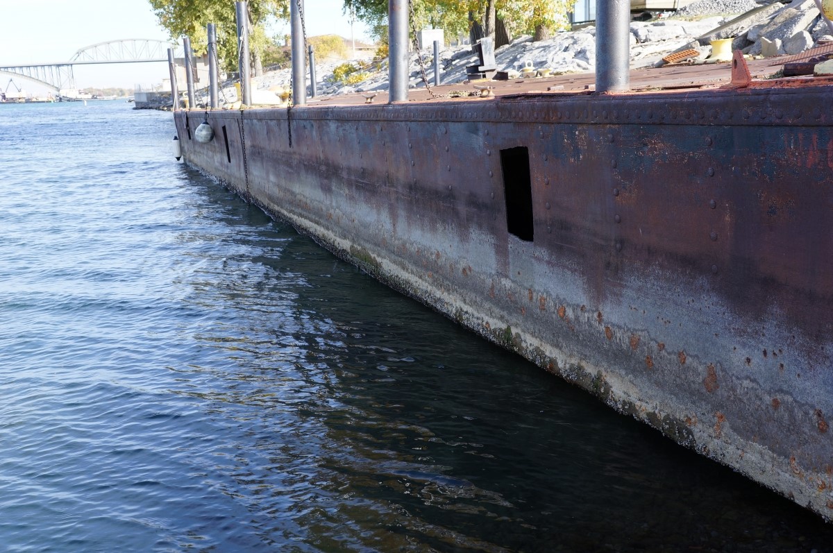
2/20
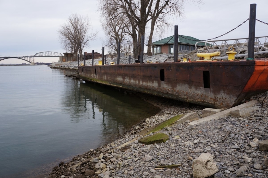
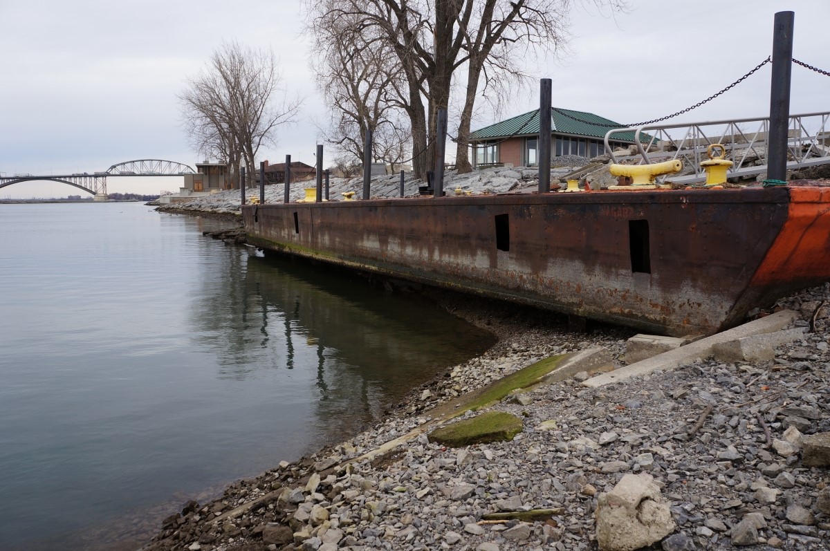
The barge we use as a dock was mostly out of the water. The normal water line can be seen about halfway up the metal.
Download Image -
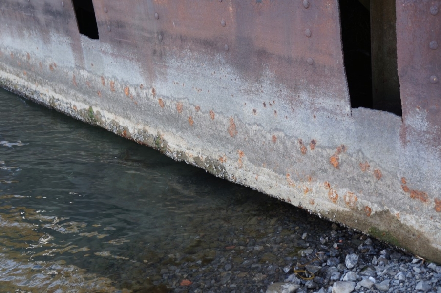
3/20
The barge we use as a dock was mostly out of the water. The normal water line can be seen about halfway up the metal.
Download Image -

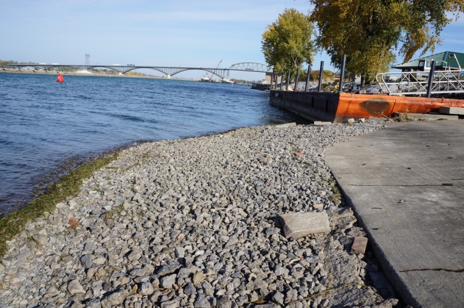
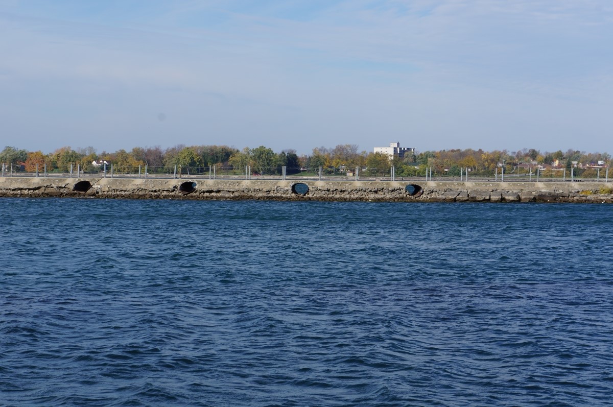
4/20
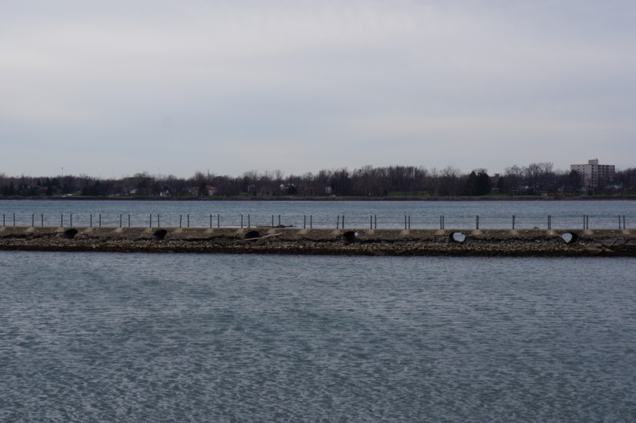
The water level is much lower than normal on the breakwall, with the waterline falling a few feet below the culverts. Normally, the culverts are partially submerged as water spills over.
Download Image -
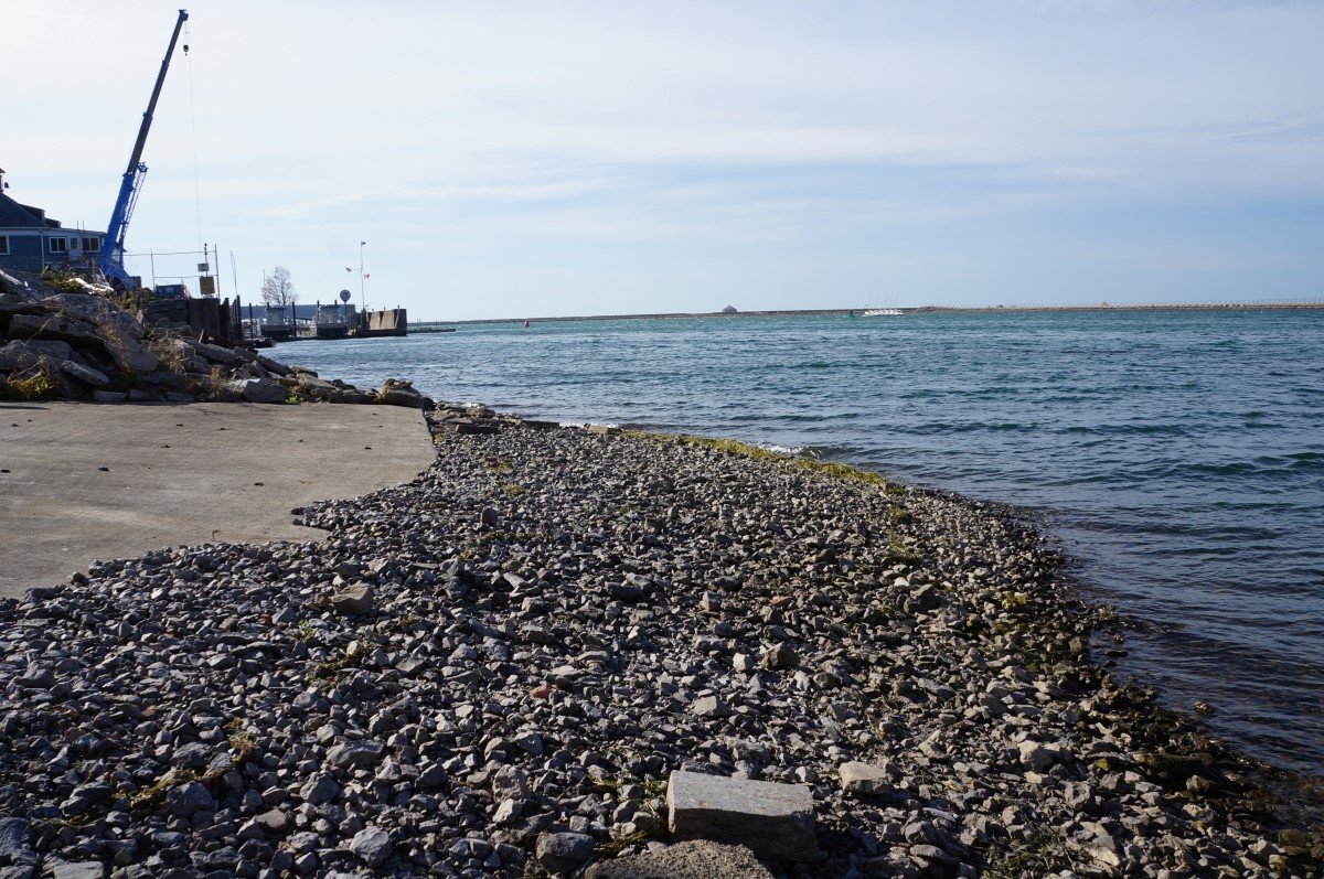
5/20
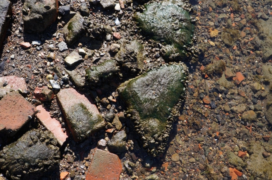
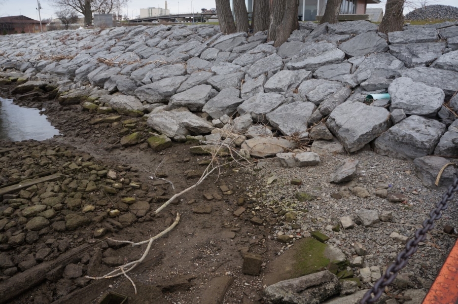
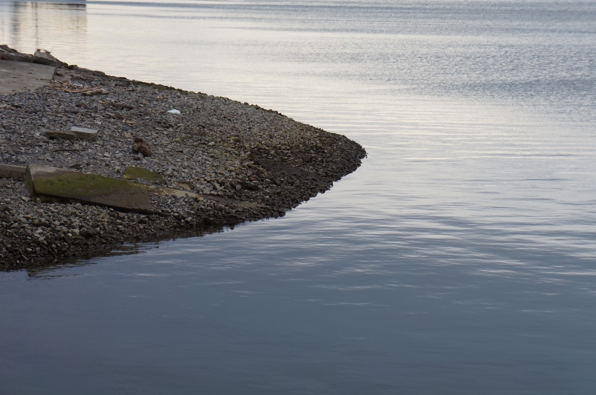
Several feet of gravel were exposed at the end of our boat ramp. The gravel continues at this slope for only a few more feet before dropping off sharply.
Download Image -
-

-
8/20
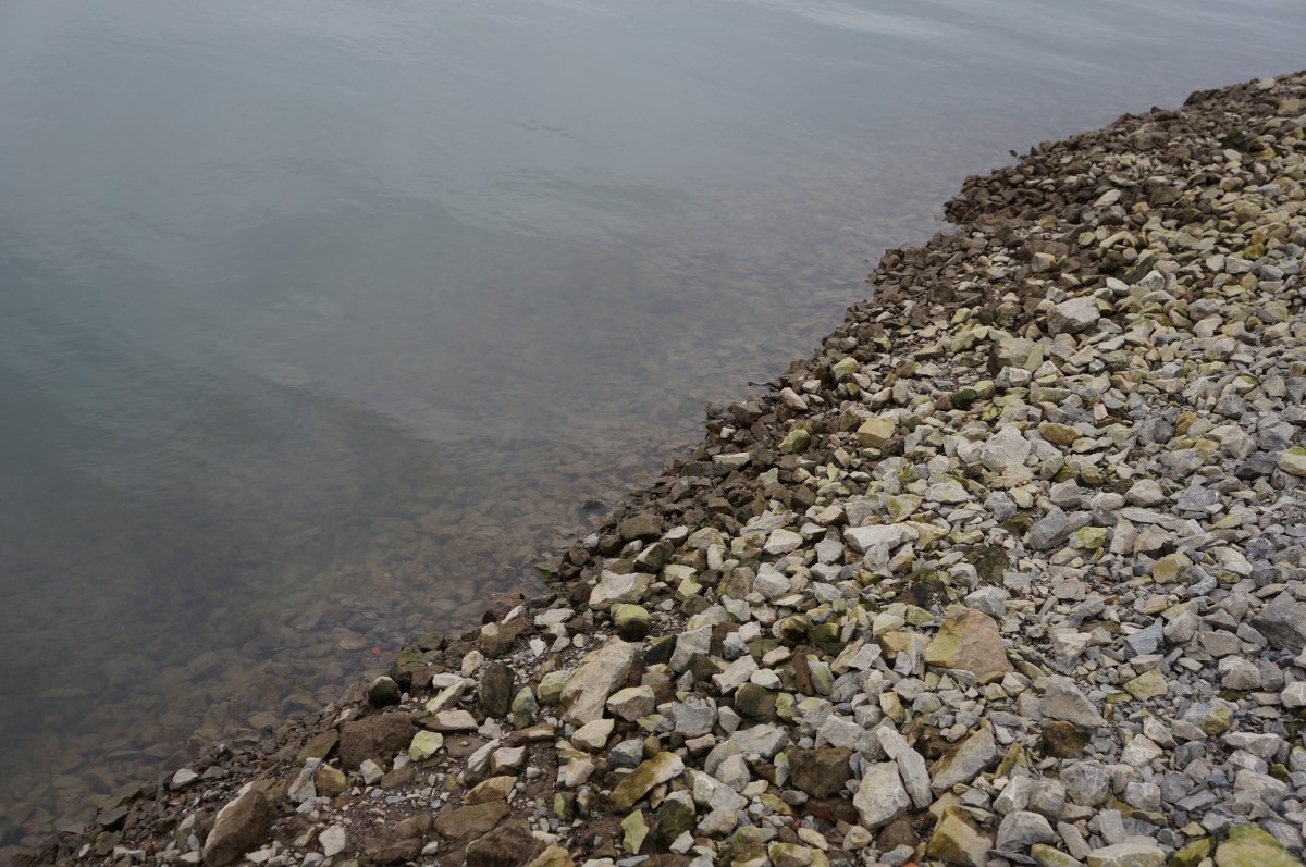
The end of the boat ramp isn't too far beyond the water line. A few feet more and it drops off steeply, making it impossible to launch our boats here.
Download Image -
-
10/20
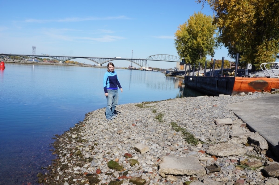
Kit Hastings stands on the exposed gravel at the end of the boat ramp. The water receded even further since the photo taken the day before.
Download Image -
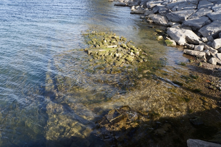
11/20
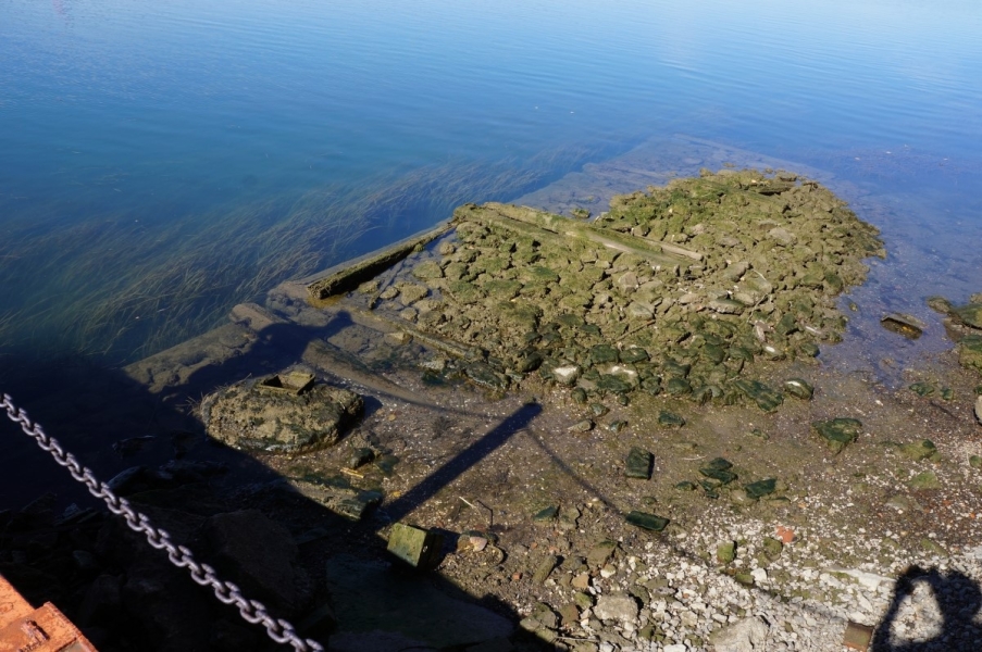
With the water level dropping even lower the next day, the almost the entire shape of the old dock pilings was exposed.
Download Image -

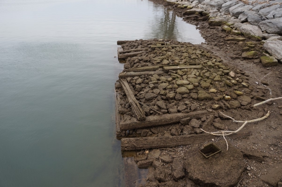
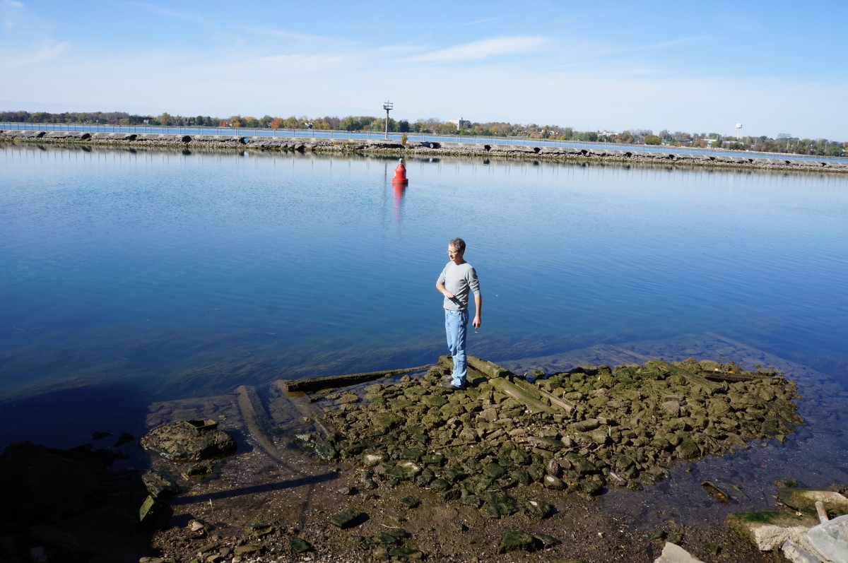
12/20
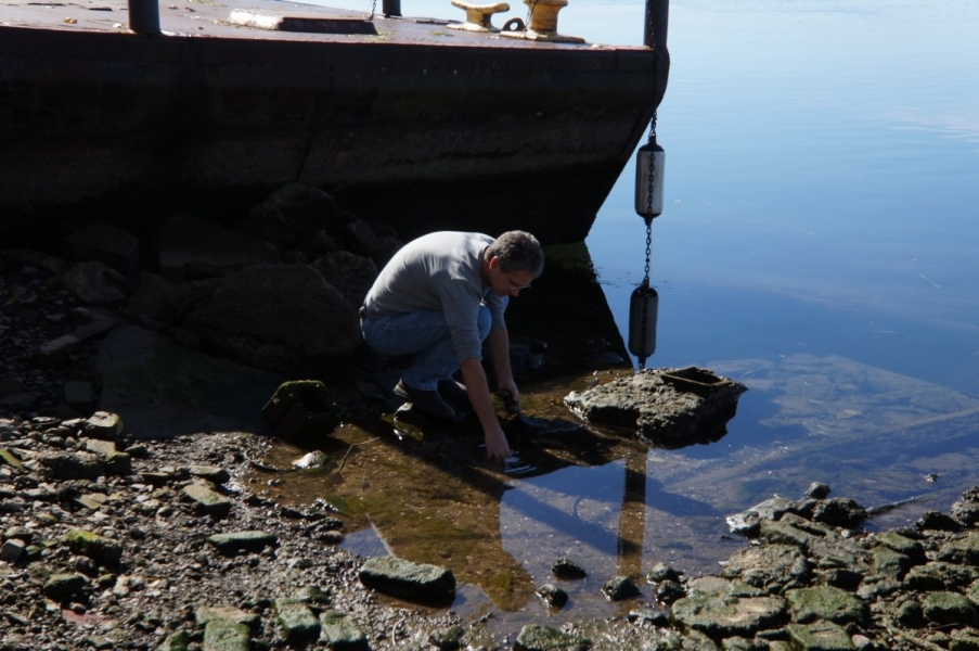
Mark Clapsadl stands on the exposed dock pilings and shows the normal water level.
Download Image -
-
-
-

-

17/20
The water was past the point where the slope of the boat ramp drops off steeply.
Download Image -
-

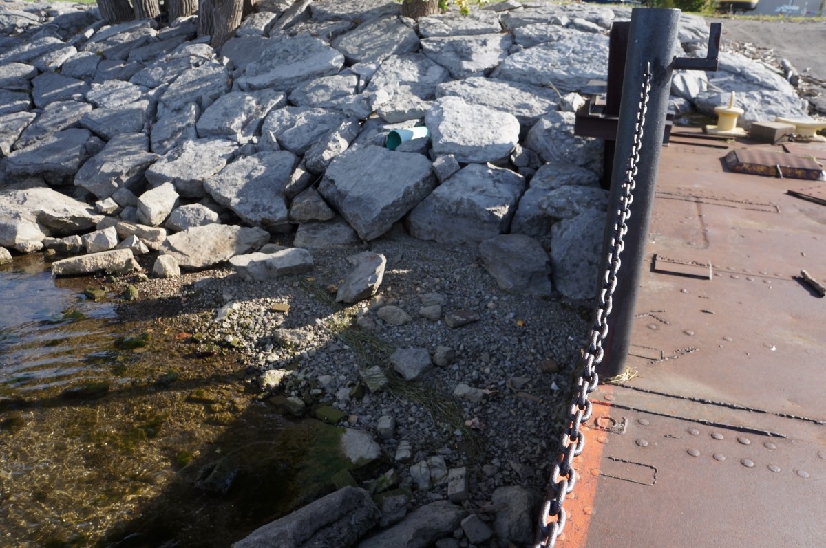
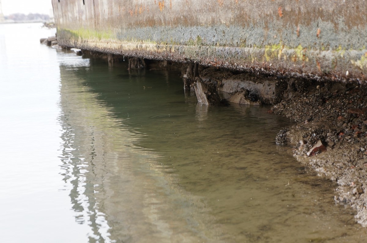
19/20
The barge was completely out of the water and it was possible to see underneath it.
Download Image -
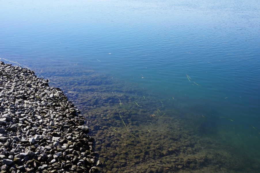
20/20
The breakwall at the lowest water in December. Several feet of rocks are exposed below the culverts.
Download Image